Elevation Certificates
Certification Services You Can Trust in Gulf Breeze, Florida
An Elevation Certificate serves as a critical tool, offering detailed insights into your property’s elevation data. This document is pivotal not only for understanding your land’s relative height but also plays a key role in determining flood insurance rates. The Certificate assesses your property’s Base Flood Elevation (BFE) against the latest BFE Maps, ensuring accurate and up-to-date information for insurance calculations. Trust 360 Surveying Services to provide precise elevation certificates, essential for safeguarding your investment and optimizing insurance premiums in Gulf Breeze, Florida.

Base Flood Elevation (BFE) Explained
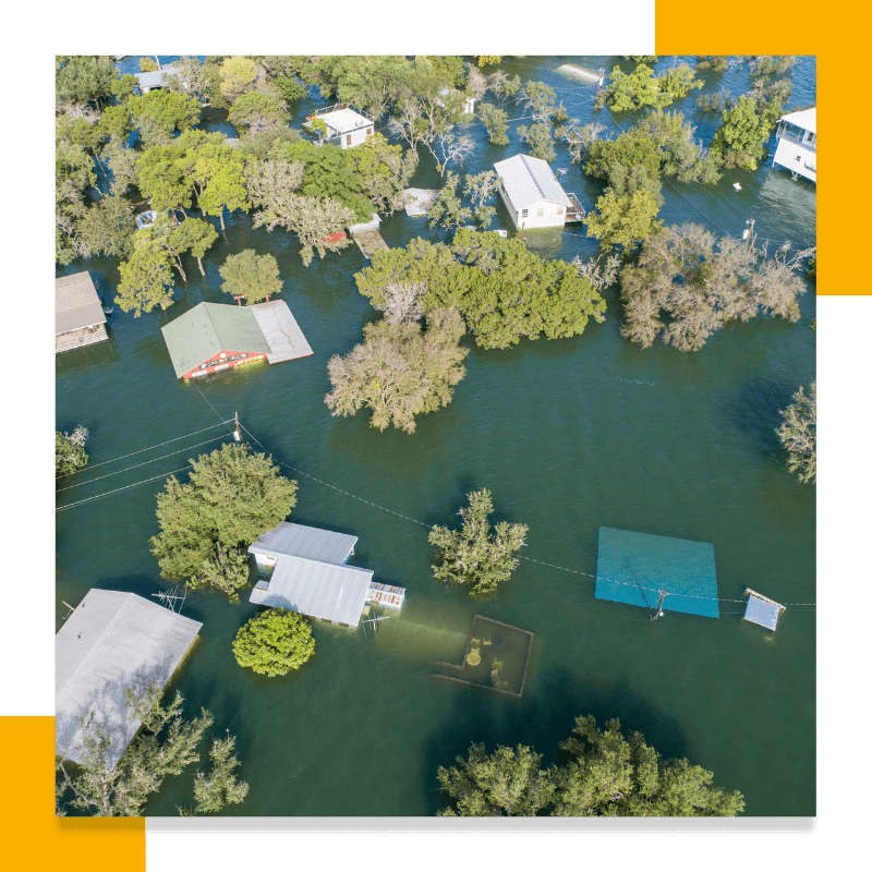
Securing an Elevation Certificate, which outlines your property’s BFE, is essential for not just compliance but also for possibly lowering your flood insurance rates. Local regulations often mandate that buildings in flood-prone areas incorporate a safety margin above the BFE, known as freeboard, to further mitigate flood risks.
FEMA, under the Department of Homeland Security, oversees the National Flood Insurance Program, mandating flood insurance for properties with federally backed mortgages in high-risk zones. By accurately determining and adhering to your property’s BFE — and ensuring vital systems like electrical and plumbing are installed above this level — you can significantly reduce the risk of flood damage and influence your insurance premiums.
Flood Map Updates Explained

Maintaining an Up-to-Date Elevation Certificate

Understanding Flood Insurance Premium Calculations
Securing Your Peace of Mind With an Elevation Certificate
Navigating the complexities of flood risk and insurance can be daunting, but with the right tools and guidance, you can safeguard your property and potentially save on insurance premiums. An elevation certificate plays a crucial role in this process, offering a clear picture of your property’s elevation relative to the Base Flood Elevation (BFE) and helping to determine your flood insurance requirements and costs.
Don’t wait for the next flood event to discover the importance of having an up-to-date elevation certificate. Contact us today to learn more about how we can assist you in obtaining this essential document. Our dedicated team is ready to provide you with the solutions you need to achieve peace of mind and financial security against flood risks.
Related Services
ALTA SURVEYS
Services conforming to American Land Title Association (ALTA) standards.

ELEVATION CERTIFICATES
Provide accurate and efficient elevation certificates for new construction or improvements located within a FEMA-designated flood hazard zone when required.

TOPOGRAPHIC SURVEYS
Provide valuable topographical / project boundary data.

BOUNDRY SURVEYS
Residential Lot & Block Surveys:
Provide residential surveys to affirm boundaries and show all site improvements.
Subdivisions:
Provide major and minor subdivisions of property for residential and commercial developments.

CONSTRUCTION LAYOUTS
Construction staking or site layout survey per building plans (blueprints). We provide the following services: building layout, earthwork staking, curb layout, utility staking, project control networks, volume surveys, pre-construction services, As-Built surveys, and more upon request. With these projects we would actively providing itemized proposals and rate sheets for contractors on upcoming projects.

HYDROGRAPHIC SURVEYS
The 360 Survey team is glad to be able offer Hydrographic Surveying Services for our clients along the Emerald and Suncoast. The 360 Team regularly performs Mean High Water surveys, Volume Surveys, Cross Section Data surveys, As-Built Surveys and FDEP Surveys for Submerged Land Lease documents and FDEP Surveys for coastal construction for our clients along the many waterways in Florida. Let us know if we can help add value to your next project

